
Go beyond your boundaries and explore the world as never before.
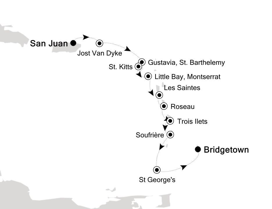
If you associate Puerto Rico's capital with the colonial streets of Old San Juan, then you know only part of the picture. San Juan is a major metropolis, radiating out from the bay on the Atlantic Ocean that was discovered by Juan Ponce de León. More than a third of the island's nearly 4 million citizens proudly call themselves sanjuaneros. The city may be rooted in the past, but it has its eye on the future. Locals go about their business surrounded by colonial architecture and towering modern structures.
By 1508 the explorer Juan Ponce de León had established a colony in an area now known as Caparra, southeast of present-day San Juan. He later moved the settlement north to a more hospitable peninsular location. In 1521, after he became the first colonial governor, Ponce de León switched the name of the island—which was then called San Juan Bautista in honor of St. John the Baptist—with that of the settlement of Puerto Rico ("rich port").
Defended by the imposing Castillo San Felipe del Morro (El Morro) and Castillo San Cristóbal, Puerto Rico's administrative and population center remained firmly in Spain's hands until 1898, when it came under U.S. control after the Spanish-American War. Centuries of Spanish rule left an indelible imprint on the city, particularly in the walled area now known as Old San Juan. The area is filled with cobblestone streets and brightly painted, colonial-era structures, and its fortifications have been designated a UNESCO World Heritage Site.
Old San Juan is a monument to the past, but most of the rest of the city is planted firmly in the 21st century and draws migrants island-wide and from farther afield to jobs in its businesses and industries. The city captivates residents and visitors alike with its vibrant lifestyle as well as its balmy beaches, pulsing nightclubs, globe-spanning restaurants, and world-class museums. Once you set foot in this city, you may never want to leave.
You can easily explore all of Gustavia during a two-hour stroll. Some shops close from noon to 3 or 4, so plan lunch accordingly, but stores stay open past 7 in the evening. Parking in Gustavia is a challenge, especially during vacation times. A good spot to park is rue de la République, alongside the catamarans, yachts, and sailboats.
Although it's one of the smallest capitals in the Caribbean, Roseau has the highest concentration of inhabitants of any town in the eastern Caribbean. Caribbean vernacular architecture and a bustling marketplace transport visitors back in time. Although you can walk the entire town in about an hour, you'll get a much better feel for the place on a leisurely stroll. For some years now, the Society for Historical Architectural Preservation and Enhancement (SHAPE) has organized programs and projects to preserve the city's architectural heritage. Several interesting buildings have already been restored. Lilac House, on Kennedy Avenue, has three types of gingerbread fretwork, latticed verandah railings, and heavy hurricane shutters. The J.W. Edwards Building, at the corner of Old and King George V sreets, has a stone base and a wooden second-floor gallery. The Old Market Plaza is the center of Roseau's historic district, which was laid out by the French on a radial plan rather than a grid, so streets such as Hanover, King George V, and Old radiate from this area. South of the marketplace is the Fort Young Hotel, built as a British fort in the 18th century; the nearby statehouse, public library, and Anglican cathedral are also worth a visit. New developments at the bay front on Dame M.E. Charles Boulevard have brightened up the waterfront.
With a lush interior featuring towering mountains, dense rain forest, fertile valleys, and acres of banana plantations, St. Lucia is mostly distinguished by the Pitons—twin peaks that soar high above the ocean floor on the southwest coast. Whether you stay in Soufrière, in the north in or around Rodney Bay Village, or even farther north at Cap Estate, exploring the iconic natural sights—and local history—in Soufrière is a day well spent. Except for a small area in the extreme northeast, one main highway circles all of St. Lucia. The road snakes along the coast, cuts across mountains, makes hairpin turns and sheer drops, and reaches dizzying heights. It takes at least four hours to drive the whole loop. Even at a leisurely pace with frequent sightseeing stops, and whether you’re driving or being driven, the curvy roads make it a tiring drive in a single outing. The West Coast Road between Castries and Soufrière (a 1½-hour journey) has steep hills and sharp turns, but it's well marked and incredibly scenic. South of Castries, the road tunnels through Morne Fortune, skirts the island's largest banana plantation (more than 127 varieties of bananas, called "figs" in this part of the Caribbean, grow on the island), and passes through tiny fishing villages. Just north of Soufrière the road negotiates the island's fruit basket, where most of the mangoes, breadfruit, tomatoes, limes, and oranges are grown. In the mountainous region that forms a backdrop for Soufrière, you will notice 3,118-foot Mt. Gimie (pronounced Jimmy), St. Lucia's highest peak. Approaching Soufrière, you'll have spectacular views of the Pitons; the spume of smoke wafting out of the thickly forested mountainside just east of Soufrière emanates from the so-called "drive-in" volcano. The landscape changes dramatically between the Pitons and Vieux Fort on the island's southeastern tip. Along the South Coast Road traveling southeasterly from Soufrière, the terrain starts as steep mountainside with dense vegetation, progresses to undulating hills, and finally becomes rather flat and comparatively arid. Anyone arriving at Hewanorra International Airport, which is in Vieux Fort, and staying at a resort near Soufrière will travel along this route, a journey of about 45 minutes each way. From Vieux Fort north to Castries, a 1½-hour drive, the East Coast Road twists through Micoud, Dennery, and other coastal villages. It then winds up, down, and around mountains, crosses Barre de l'Isle Ridge, and slices through the rain forest. Much of the scenery is breathtaking. The Atlantic Ocean pounds against rocky cliffs, and acres and acres of bananas and coconut palms blanket the hillsides. If you arrive at Hewanorra and stay at a resort near Castries or Rodney Bay, you'll travel along the East Coast Road.
This bustling capital city is a major duty-free port with a compact shopping area. The principal thoroughfare is Broad Street, which leads west from National Heroes Square.
Amongst top attractions here, the Pelican Villagea cluster of workshops located halfway between the cruise-ship terminal and downtown Bridgetown where craftspeople create and sell locally made leather goods, batik, basketry, carvings, jewelry, glass art, paintings, pottery, and other items. It's open weekdays 9 to 5 and Saturday 9 to 2; things here are most active when cruise ships are in port.
Alternatively, sightseers will want to go to the Nidhe Israel Synagogue, which has been providing for the spiritual needs of one of the oldest Jewish congregations in the Western Hemisphere. This synagogue was formed by Jews who left Brazil in the 1620s and introduced sugarcane to Barbados. The adjoining cemetery has tombstones dating from the 1630s. The original house of worship, built in 1654, was destroyed in an 1831 hurricane, rebuilt in 1833, and restored with the assistance of the Barbados National Trust in 1987. Friday-night services are held during the winter months, but the building is open to the public year-round. Shorts are not acceptable during services but may be worn at other times.
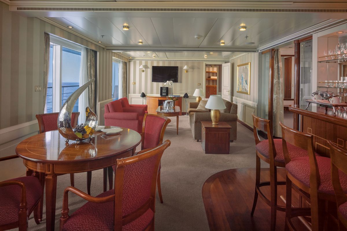
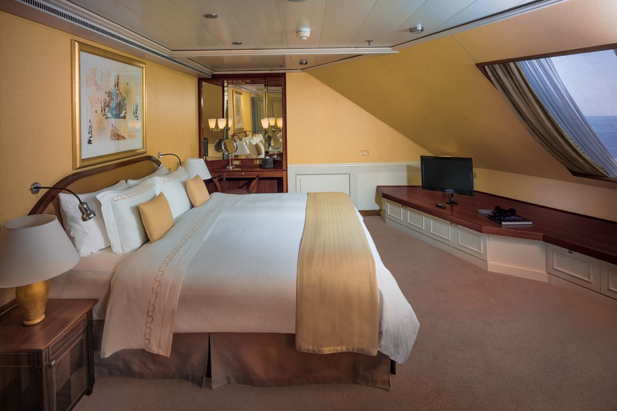
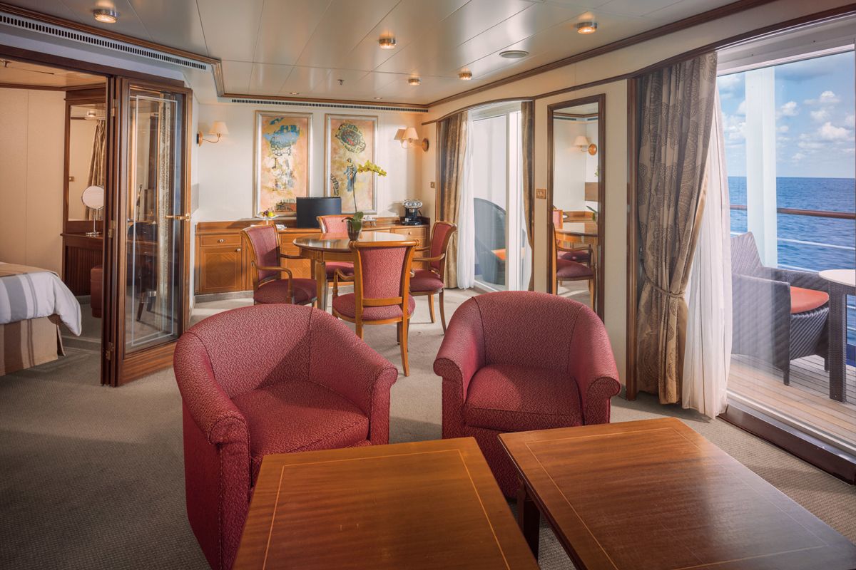
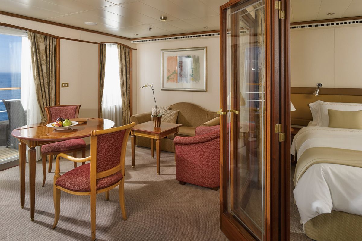
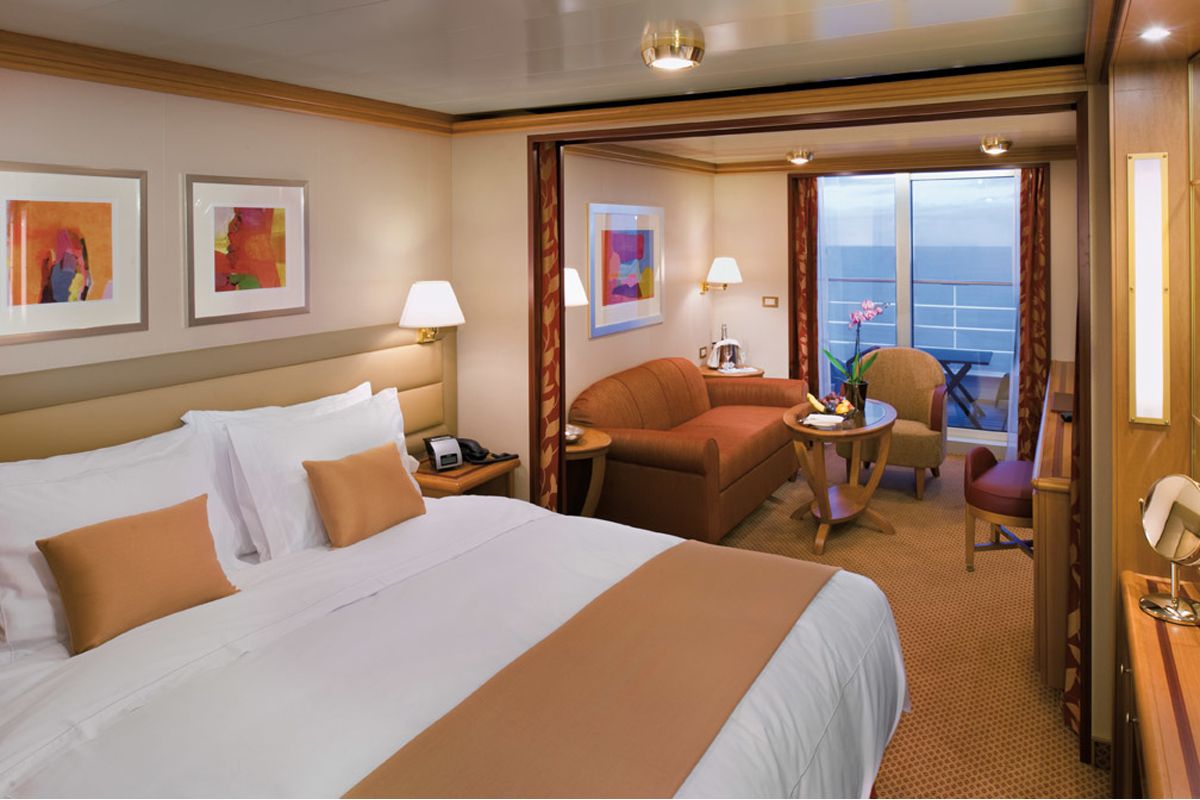
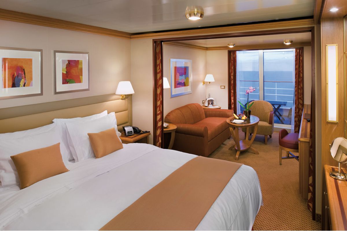
World Cruise Finder's suites are some of the most spacious in luxury cruising.
Request a Quote - guests who book early are rewarded with the best fares and ability to select their desired suite.
