
Go beyond your boundaries and explore the world as never before.
Valparaíso's dramatic topography—45 cerros, or hills, overlooking the ocean—requires the use of winding pathways and wooden ascensores (funiculars) to get up many of the grades. The slopes are covered by candy-color houses—there are almost no apartments in the city—most of which have exteriors of corrugated metal peeled from shipping containers decades ago. Valparaíso has served as Santiago's port for centuries. Before the Panama Canal opened, Valparaíso was the busiest port in South America. Harsh realities—changing trade routes, industrial decline—have diminished its importance, but it remains Chile's principal port. Most shops, banks, restaurants, bars, and other businesses cluster along the handful of streets called El Plan (the flat area) that are closest to the shoreline. Porteños (which means "the residents of the port") live in the surrounding hills in an undulating array of colorful abodes. At the top of any of the dozens of stairways, the paseos (promenades) have spectacular views; many are named after prominent Yugoslavian, Basque, and German immigrants. Neighborhoods are named for the hills they cover. With the jumble of power lines overhead and the hundreds of buses that slow down—but never completely stop—to pick up agile riders, it's hard to forget you're in a city. Still, walking is the best way to experience Valparaíso.
Author Herman Melville summed up Nuku Hiva as a "country that no description could fit the beauty." Melville deserted his ship, the whaler Acushnet in the Marquesas and for a short time lived among the Typee people. At 329 square km (127 square mi), this is the largest of the Marquesas Islands; it was also the inspiration for two of Melville's novels, Typee and its sequel Omoo.With towering mountains, eight magnificent harbors, and one of the world's highest waterfalls, Nuku Hiva is richly blessed. Few doubt that its 2,400 inhabitants live in paradise.
Rangiroa, or "Endless Sky" in Tahitian, is French Polynesia's largest atoll. A long, narrow grouping of 415 small motu strung together in a misshapen circle, it harbors a lagoon so large the entire island of Tahiti could fit in it. It's also impossible to see from one side of the lagoon to the other. Rangiroa's tourism industry has been built around the lagoon and the two passes (Avatoru and Tiputa) that connect it to the ocean. Divers descend on Rangi, as it's nicknamed, to "shoot the pass." The atoll's main town, Avatoru, and the village of Tiputa lie in the northern section of the atoll.
Although it lies between Moorea and Bora Bora, Huahine (pronounced Hu-a-hee-nee or Wha-hee-nee) isn't on the tourist circuit just yet, but it should be. Its near-deserted roads and villages and wooded hills entwined with jungle vines beckon those looking for a little R&R.Huahine is two islands (Huahine Nui and Huahine Iti) joined by a bridge. What passes for action takes place in the main town of Fare (pronounced far-ay) on Huahine Nui, the northern and bigger island. Away from this little port, life is slow-paced and you'll be lucky to find anyone stirring on a lazy afternoon in any of the villages of Huahine Iti. Most locals ride bicycles and agriculture's still the main industry—plantations grow vanilla and melons. There are various legends surrounding the island's name. Some say that hua> means "sex" and hine means "woman," while others say the name means "pregnant woman" due to a rock outline on Huahine Nui's Fitii Peninsula. Then there's the legend of Hiro, Polynesia's most famous god. It's said that Hiro rammed his canoe into the island, splitting it down the middle. Not far from the town of Maroe is a rock spire called Te Moa o Hiro or "penis of Hiro"—you can't miss it. It's easy to explore Huahine (75 square km [47 square mi]) by rental car, as there is really only one road, albeit with a few forks in it. When you cross the bridge into Huahine Iti you can go either left to Maroe or right to Parea. The road to Haapu leads off to a dead end. When crossing from Huahine Iti to Nui the same rule applies. Take the left fork to the "busy" town of Fare and the right fork to the "sacred eel" village of Faaie, via the Belvedere lookout. Hiring your own boat allows you to circle the island and anchor at the motu; a couple of self-catering villas provide both a car and a boat. There are only one or two restaurants on Huahine Iti; you either eat at your pension, choose a pension with cooking facilities, or drive up to Fare for a wider, though still rather limited, choice.
Moorea is called the "sister island" of Tahiti and its proximity—just 19 km (12 mi) away across the Sea of Moon—has assured a steady stream of both international and local visitors. Many Tahitians have holiday homes on Moorea and hop over in their boats or take the 30-minute ferry. The draw is South Seas island charm and a relatively slow-paced life. Moorea is an eighth of the size of Tahiti but packs all the classic island features into its triangular shape. Cutting into the northern side of the island are the dramatic Opunohu Bay and Cook's Bay, the latter backed by the shark-toothed Mt. Mouaroa and home to many resorts and restaurants. Between the two bays majestic Mt. Rotui rises 2,020 feet (616 meters) and steep, jagged mountain ridges run across the island. From the Belvedere lookout there are awesome views of these bays and mountains, including the tallest peak—the thumb-shaped Mt. Tohiea reaching 3,960 feet (1,207 meters) into the clouds. Moorea is ringed by a coral reef enclosing a beautiful and quite narrow lagoon. Unlike other islands in the Society group, Moorea has only a couple of motu (islets) and they are located off the northwest corner. The island's rugged peaks and deep bays are said to be the inspiration for James A. Michener's mythical isle of Bali Hai, although historians dispute this claim. It's also believed to be the "birthplace" of the legendary overwater bungalow: a trio of Californian guys who came to Moorea in the 1950s and became known as the Bali Hai boys reportedly dreamt up this unique style of hotel room. Today there are seven resorts and about 24 smaller hotels and pensions, acres of pineapple plantations, and one of only two golf courses in French Polynesia. Moorea is an easy island to explore by car. The one coastal road is just 61 km (37 mi) long, and the best part of a day is needed to travel the road and stop off at the villages, bays, little churches, and cafés along the way and to travel into the interior to the Belvedere lookout and the marae (ancient temples). The lagoon and bays can be discovered on organized excursions that may include a picnic lunch on one of the motu at the island's northwest corner. There are also small motorboats for hire for a half or full day, with no license required. You won't find too many tracks of endless white sands on Moorea; however, the top resorts have lovely man-made beaches and the lagoon-side pensions and lodges always have at least a little patch of sand.
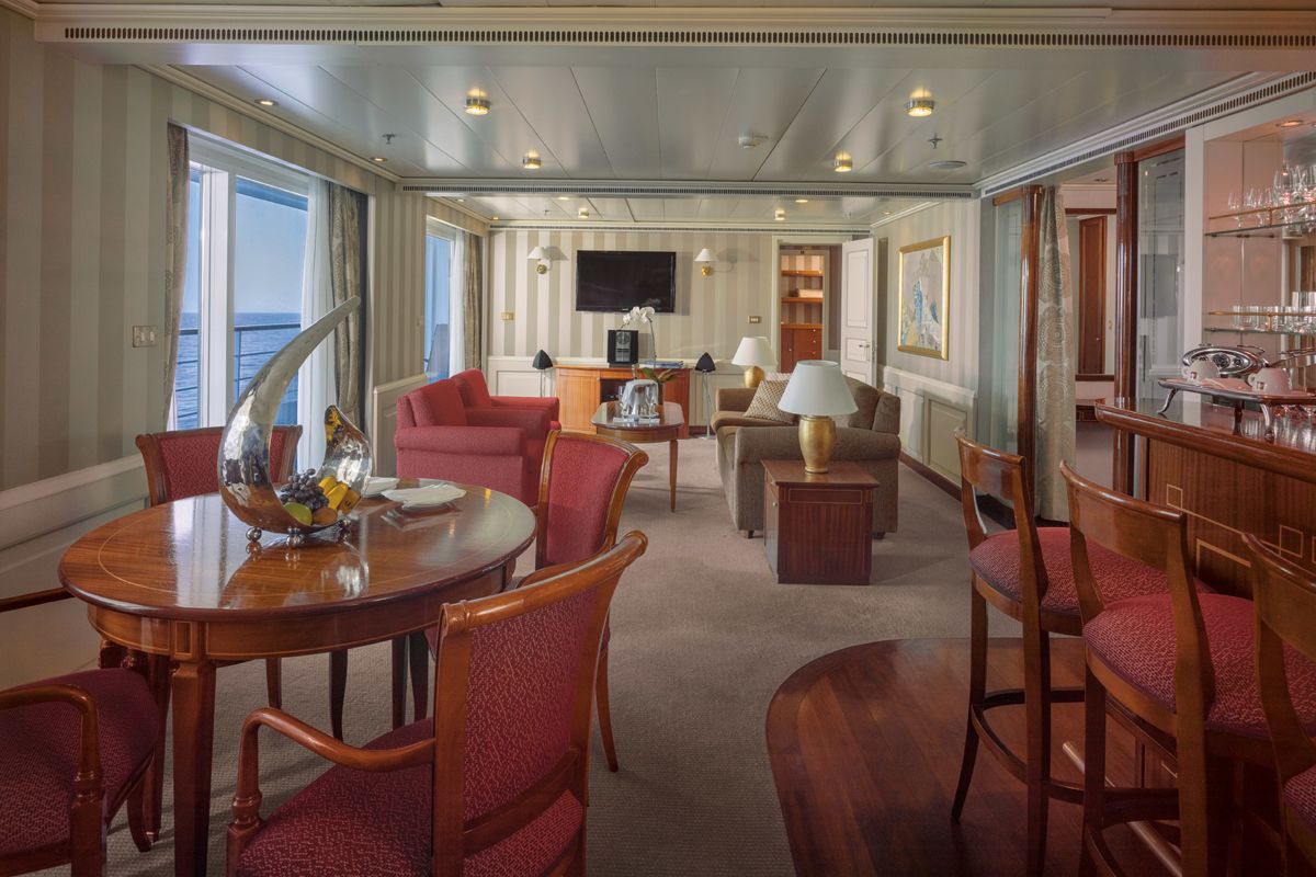
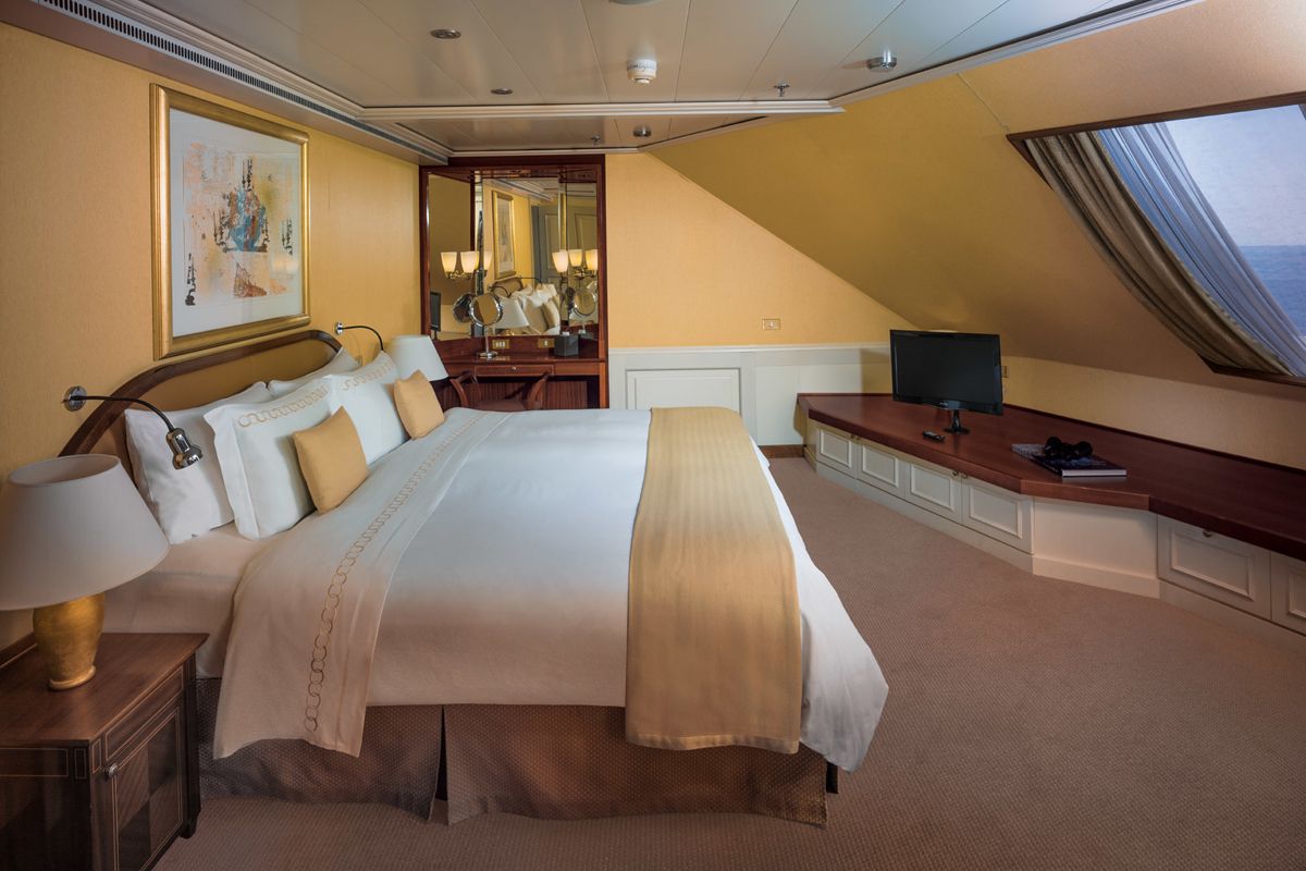
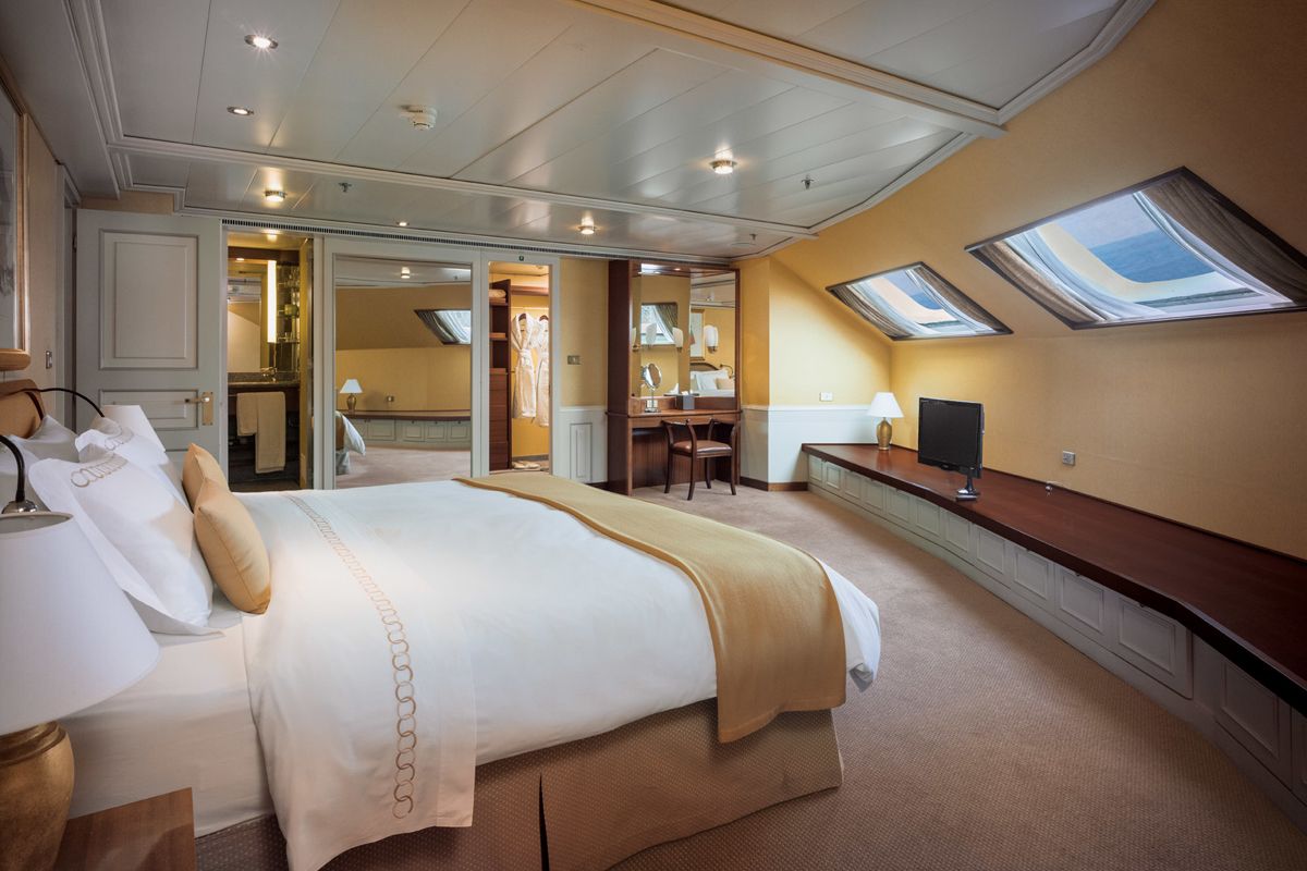
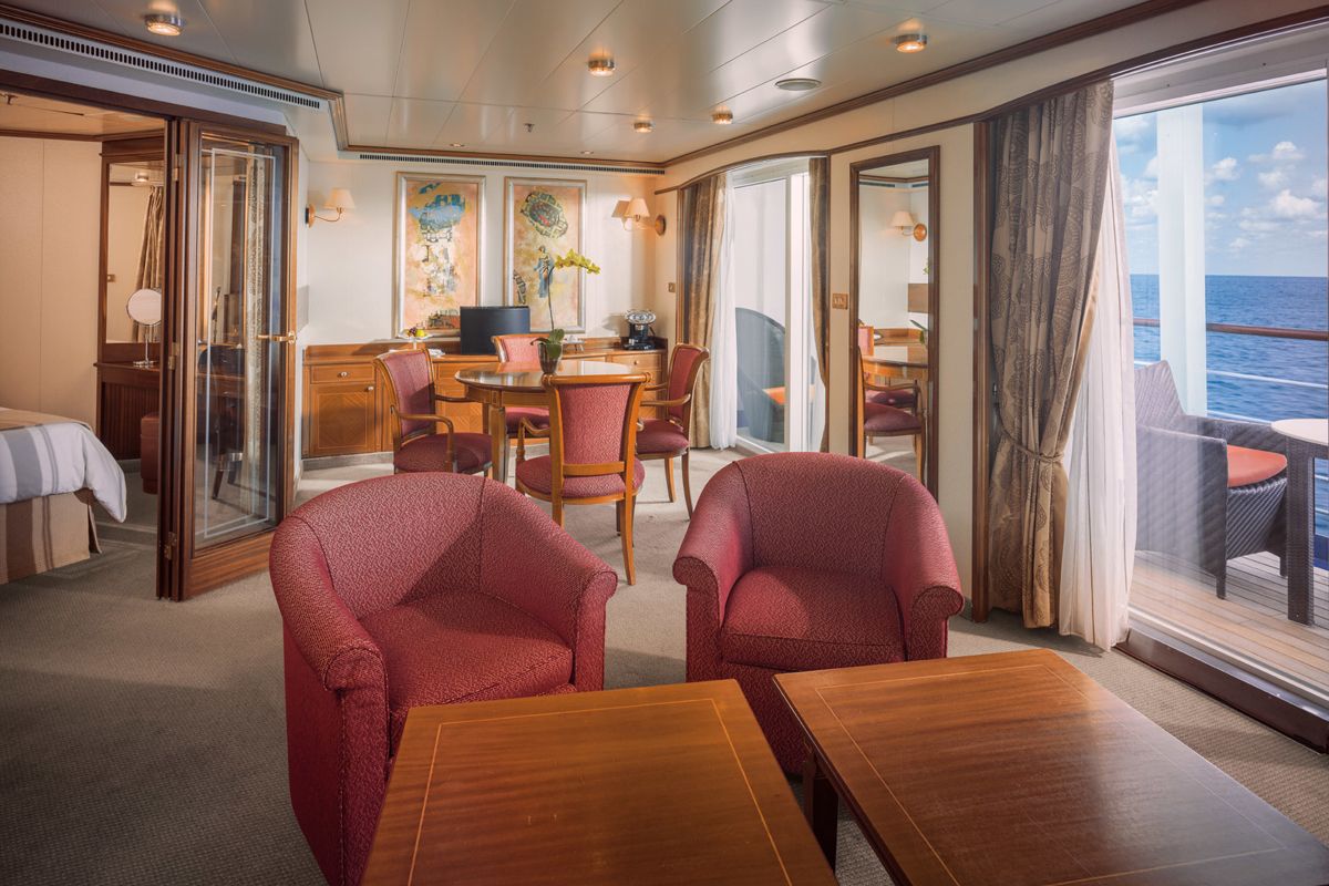
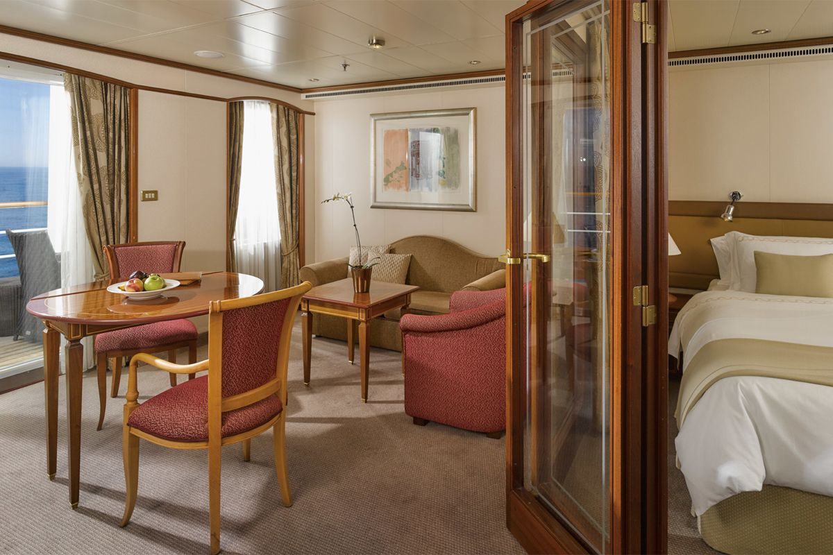
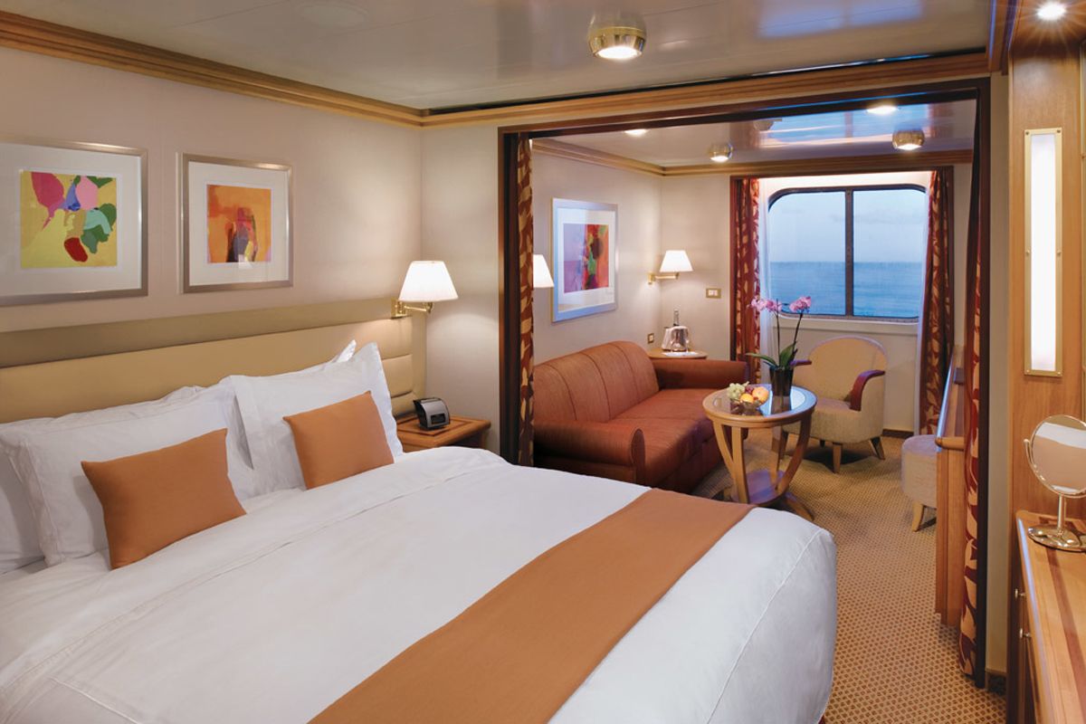
World Cruise Finder's suites are some of the most spacious in luxury cruising.
Request a Quote - guests who book early are rewarded with the best fares and ability to select their desired suite.
