
Go beyond your boundaries and explore the world as never before.
This bustling capital city is a major duty-free port with a compact shopping area. The principal thoroughfare is Broad Street, which leads west from National Heroes Square.
Amongst top attractions here, the Pelican Villagea cluster of workshops located halfway between the cruise-ship terminal and downtown Bridgetown where craftspeople create and sell locally made leather goods, batik, basketry, carvings, jewelry, glass art, paintings, pottery, and other items. It's open weekdays 9 to 5 and Saturday 9 to 2; things here are most active when cruise ships are in port.
Alternatively, sightseers will want to go to the Nidhe Israel Synagogue, which has been providing for the spiritual needs of one of the oldest Jewish congregations in the Western Hemisphere. This synagogue was formed by Jews who left Brazil in the 1620s and introduced sugarcane to Barbados. The adjoining cemetery has tombstones dating from the 1630s. The original house of worship, built in 1654, was destroyed in an 1831 hurricane, rebuilt in 1833, and restored with the assistance of the Barbados National Trust in 1987. Friday-night services are held during the winter months, but the building is open to the public year-round. Shorts are not acceptable during services but may be worn at other times.
Bequia is a Carib word meaning "island of the cloud." Hilly and green with several golden-sand beaches, Bequia is 9 miles (14½ km) south of St. Vincent's southwestern shore; with a population of 5,000, it's the largest of the Grenadines. Although boatbuilding, whaling, and fishing have been the predominant industries here for generations, sailing has now become almost synonymous with Bequia. Admiralty Bay is a favored anchorage for both privately owned and chartered yachts. Lodgings range from comfortable resorts and villas to cozy West Indian—style inns. Bequia's airport and the frequent ferry service from St. Vincent make this a favorite destination for day-trippers, as well. The ferry docks in Port Elizabeth, a tiny town with waterfront bars, restaurants, and shops where you can buy handmade souvenirs—including the exquisitely detailed model sailboats that are a famous Bequia export. The Easter Regatta is held during the four-day Easter weekend, when revelers gather to watch boat races and celebrate the island's seafaring traditions with food, music, dancing, and competitive games.To see the views, villages, beaches, and boatbuilding sites around Bequia, hire a taxi at the jetty in Port Elizabeth. Several usually line up under the almond trees to meet each ferry from St. Vincent.
With a lush interior featuring towering mountains, dense rain forest, fertile valleys, and acres of banana plantations, St. Lucia is mostly distinguished by the Pitons—twin peaks that soar high above the ocean floor on the southwest coast. Whether you stay in Soufrière, in the north in or around Rodney Bay Village, or even farther north at Cap Estate, exploring the iconic natural sights—and local history—in Soufrière is a day well spent. Except for a small area in the extreme northeast, one main highway circles all of St. Lucia. The road snakes along the coast, cuts across mountains, makes hairpin turns and sheer drops, and reaches dizzying heights. It takes at least four hours to drive the whole loop. Even at a leisurely pace with frequent sightseeing stops, and whether you’re driving or being driven, the curvy roads make it a tiring drive in a single outing. The West Coast Road between Castries and Soufrière (a 1½-hour journey) has steep hills and sharp turns, but it's well marked and incredibly scenic. South of Castries, the road tunnels through Morne Fortune, skirts the island's largest banana plantation (more than 127 varieties of bananas, called "figs" in this part of the Caribbean, grow on the island), and passes through tiny fishing villages. Just north of Soufrière the road negotiates the island's fruit basket, where most of the mangoes, breadfruit, tomatoes, limes, and oranges are grown. In the mountainous region that forms a backdrop for Soufrière, you will notice 3,118-foot Mt. Gimie (pronounced Jimmy), St. Lucia's highest peak. Approaching Soufrière, you'll have spectacular views of the Pitons; the spume of smoke wafting out of the thickly forested mountainside just east of Soufrière emanates from the so-called "drive-in" volcano. The landscape changes dramatically between the Pitons and Vieux Fort on the island's southeastern tip. Along the South Coast Road traveling southeasterly from Soufrière, the terrain starts as steep mountainside with dense vegetation, progresses to undulating hills, and finally becomes rather flat and comparatively arid. Anyone arriving at Hewanorra International Airport, which is in Vieux Fort, and staying at a resort near Soufrière will travel along this route, a journey of about 45 minutes each way. From Vieux Fort north to Castries, a 1½-hour drive, the East Coast Road twists through Micoud, Dennery, and other coastal villages. It then winds up, down, and around mountains, crosses Barre de l'Isle Ridge, and slices through the rain forest. Much of the scenery is breathtaking. The Atlantic Ocean pounds against rocky cliffs, and acres and acres of bananas and coconut palms blanket the hillsides. If you arrive at Hewanorra and stay at a resort near Castries or Rodney Bay, you'll travel along the East Coast Road.
The capital of Dutch St. Maarten stretches about a mile (1½ km) along an isthmus between Great Bay and the Salt Pond and has five parallel streets. Most of the village's dozens of shops and restaurants are on Front Street, narrow and cobblestone, closest to Great Bay. It's generally congested when cruise ships are in port, because of its many duty-free shops and several casinos. Little lanes called steegjes connect Front Street with Back Street, which has fewer shops and considerably less congestion. Along the beach is a ½-mile-long (1-km-long) boardwalk with restaurants and several Wi-Fi hot spots.
Wathey Square (pronounced watty) is in the heart of the village. Directly across from the square are the town hall and the courthouse, in a striking white building with cupola. The structure was built in 1793 and has served as the commander's home, a fire station, a jail, and a post office. The streets surrounding the square are lined with hotels, duty-free shops, restaurants, and cafés. The Captain Hodge Pier, just off the square, is a good spot to view Great Bay and the beach that stretches alongside.
Antigua's capital, with some 45,000 inhabitants (approximately half the island's population), lies at sea level at the inland end of a sheltered northwestern bay. Although it has seen better days, a couple of notable historic sights and some good waterfront shopping areas make it worth a visit. At the far south end of town, where Market Street forks into Valley and All Saints roads, haggling goes on every Friday and Saturday, when locals jam the Public Market to buy and sell fruits, vegetables, fish, and spices. Ask before you aim a camera; your subject may expect a tip. This is old-time Caribbean shopping, a jambalaya of sights, sounds, and smells.
You can easily explore all of Gustavia during a two-hour stroll. Some shops close from noon to 3 or 4, so plan lunch accordingly, but stores stay open past 7 in the evening. Parking in Gustavia is a challenge, especially during vacation times. A good spot to park is rue de la République, alongside the catamarans, yachts, and sailboats.
If you associate Puerto Rico's capital with the colonial streets of Old San Juan, then you know only part of the picture. San Juan is a major metropolis, radiating out from the bay on the Atlantic Ocean that was discovered by Juan Ponce de León. More than a third of the island's nearly 4 million citizens proudly call themselves sanjuaneros. The city may be rooted in the past, but it has its eye on the future. Locals go about their business surrounded by colonial architecture and towering modern structures.
By 1508 the explorer Juan Ponce de León had established a colony in an area now known as Caparra, southeast of present-day San Juan. He later moved the settlement north to a more hospitable peninsular location. In 1521, after he became the first colonial governor, Ponce de León switched the name of the island—which was then called San Juan Bautista in honor of St. John the Baptist—with that of the settlement of Puerto Rico ("rich port").
Defended by the imposing Castillo San Felipe del Morro (El Morro) and Castillo San Cristóbal, Puerto Rico's administrative and population center remained firmly in Spain's hands until 1898, when it came under U.S. control after the Spanish-American War. Centuries of Spanish rule left an indelible imprint on the city, particularly in the walled area now known as Old San Juan. The area is filled with cobblestone streets and brightly painted, colonial-era structures, and its fortifications have been designated a UNESCO World Heritage Site.
Old San Juan is a monument to the past, but most of the rest of the city is planted firmly in the 21st century and draws migrants island-wide and from farther afield to jobs in its businesses and industries. The city captivates residents and visitors alike with its vibrant lifestyle as well as its balmy beaches, pulsing nightclubs, globe-spanning restaurants, and world-class museums. Once you set foot in this city, you may never want to leave.
Just 7 miles (11 km) long and a little more than 1 mile (1½ km) wide, this island, the capital and seat of the Turks and Caicos government, has been a longtime favorite destination for divers eager to explore the 7,000-foot-deep pristine coral walls that drop down only 300 yards out to sea. On shore, the tiny, quiet island is home to white-sand beaches, the National Museum, and a small population of wild horses and donkeys, which leisurely meander past the white-walled courtyards, pretty churches, and bougainvillea-covered colonial inns on their daily commute into town. But things aren't entirely sleepy: a cruise-ship complex at the southern end of the island brings about 600,000 visitors per year. That said, the dock is self-contained and is about 3 miles (5 km) from the tranquil, small hotels of Cockburn Town, Pillory Beach, and the Ridge and far from most of the western-shore dive sites. Pristine beaches with vistas of turquoise waters, small local settlements, historic ruins, and native flora and fauna are among the sights on Grand Turk. Fewer than 4,000 people live on this 7½-square-mile (19-square-km) island, and it's hard to get lost, as there aren't many roads.
Like many southeast Florida neighbors, Fort Lauderdale has long been revitalizing. In a state where gaudy tourist zones often stand aloof from workaday downtowns, Fort Lauderdale exhibits consistency at both ends of the 2-mile Las Olas corridor. The sparkling look results from upgrades both downtown and on the beachfront. Matching the downtown's innovative arts district, cafés, and boutiques is an equally inventive beach area, with hotels, cafés, and shops facing an undeveloped shoreline, and new resort-style hotels replacing faded icons of yesteryear. Despite wariness of pretentious overdevelopment, city leaders have allowed a striking number of glittering high-rises. Nostalgic locals and frequent visitors fret over the diminishing vision of sailboats bobbing in waters near downtown; however, Fort Lauderdale remains the yachting capital of the world, and the water toys don’t seem to be going anywhere.
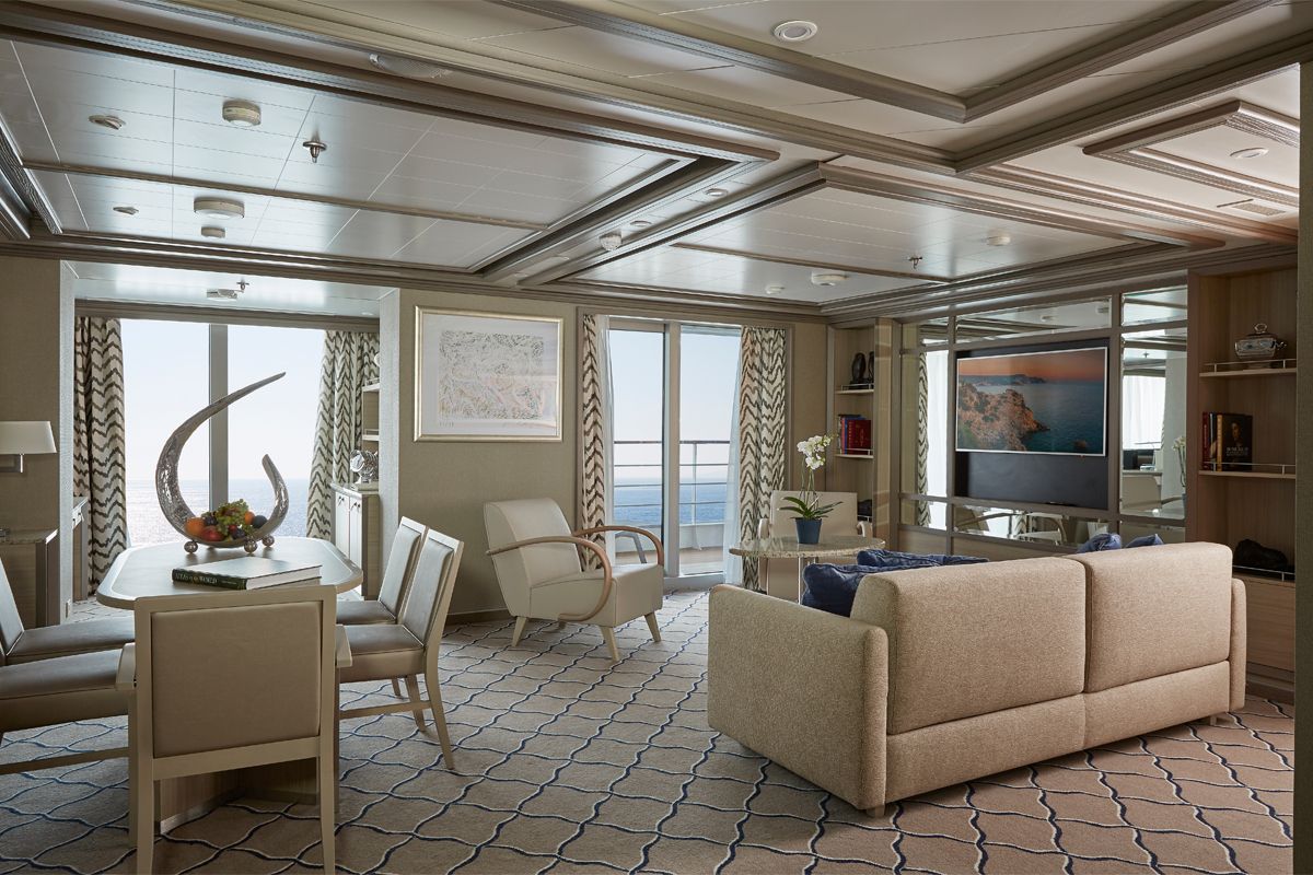
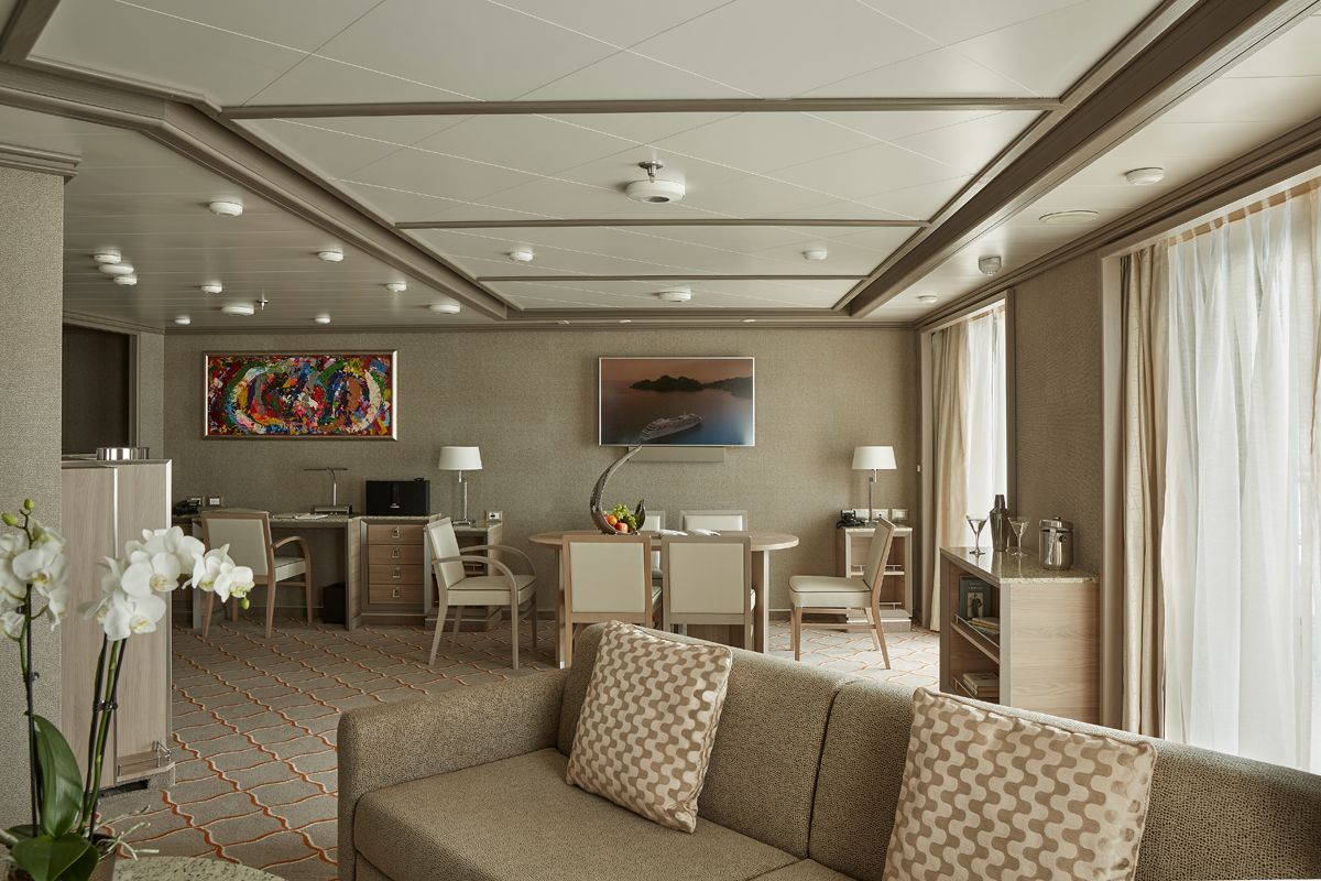
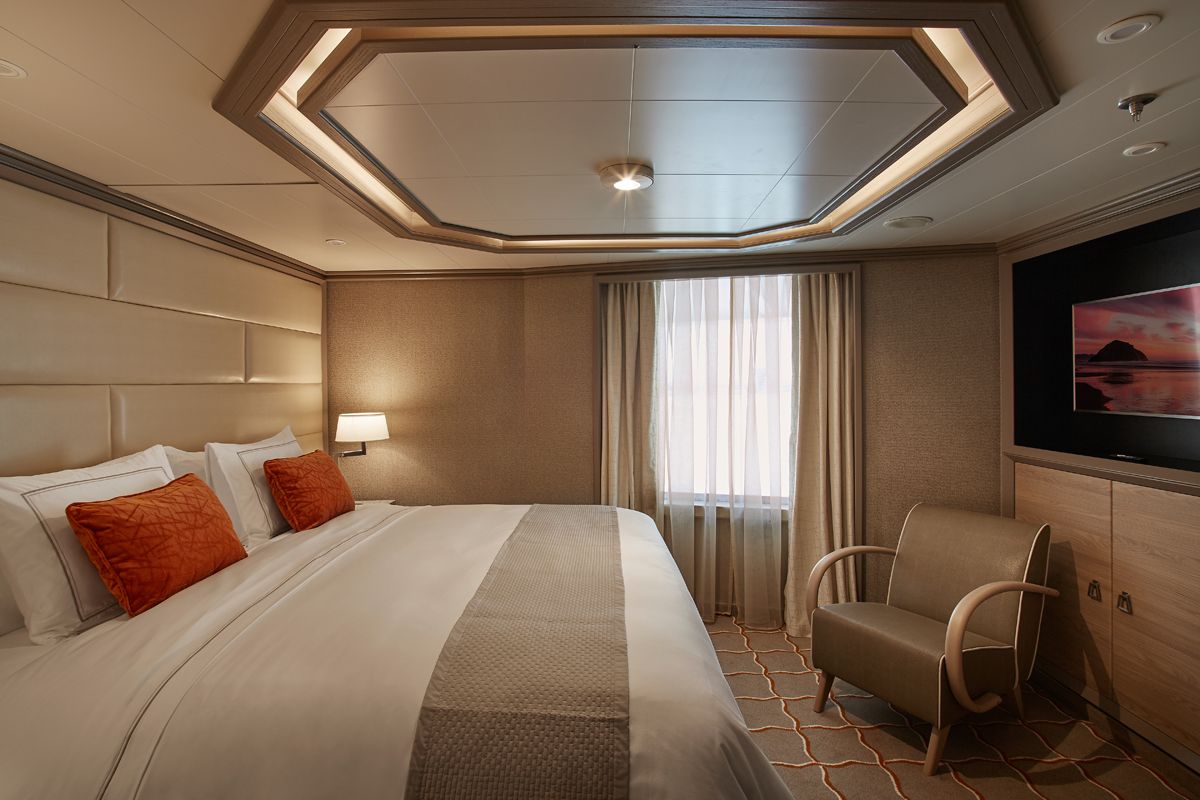
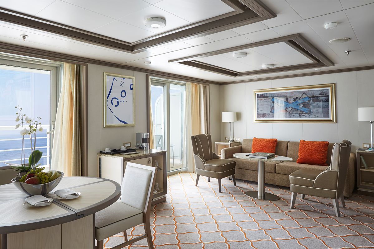
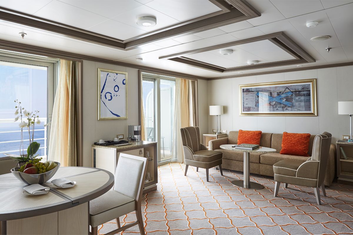
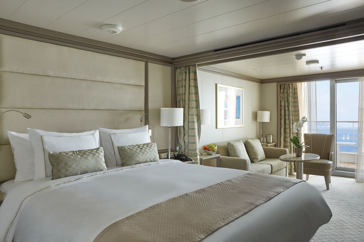
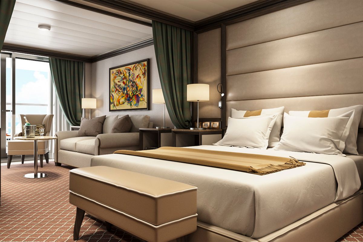
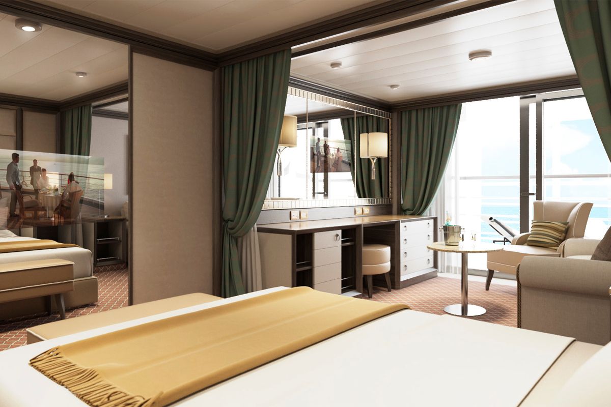
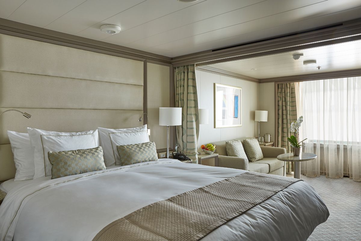
World Cruise Finder's suites are some of the most spacious in luxury cruising.
Request a Quote - guests who book early are rewarded with the best fares and ability to select their desired suite.
